Pick an interesting trail for Saturday near home or on a trip, read other people’s fresh reviews about trail condition, parking, snow and mud, and work out whether they can handle it.
These apps are mentioned in the breakdown of this job. Open each one to compare strengths and limits. The order of the list is not a ranking of fitness.
Rank 1. Review score: 78 out of 100. App Store rating: 4.9★ · 1,031,943 ratings
78of 100
People keep AllTrails as their single reference for planning a hike and value the offline maps, elevation profile, length and duration, plus reviews and photos from those who already walked the trail. It breaks on the new interface that hides basic things from free users, on crashes and phone overheating during long navigation, and on a murky cancellation where the charge lands before the trial ends.
Praised: Offline maps where there is no signal, elevation profile and trail duration, reviews and photos from prior hikers, everything in one planning reference
Complaints: New interface hides basic features from free users, crashes and overheating on long navigation, murky cancellation and charge after trial, search jumps back to top of list, AI slop in trail descriptions
Best for: Hikers and runners who want one reference with maps, elevation and living trail reviews
Rank 7. Review score: 62 out of 100. App Store rating: 4.9★ · 2,177 ratings
62of 100
People adore the WTA organization itself and its trip reports: snow, washouts, road conditions and closures before you head out are the best thing about Washington hiking. But the app lets them down: for the past year it crashes the moment you try to search, trip reports do not sync, and gray text on a pale background is unreadable in sunlight. Many end up using the website on a computer instead.
Praised: Trip reports on snow, washouts and road conditions, best coverage for Washington and PNW, free, no ads, clean pleasant interface, sense of community
Complaints: Crashes on search for the past year, trip reports do not sync from the app, gray text on pale background unreadable in sun, tiny text with no dynamic type support, forces a password every launch
Best for: For hikers in Washington who want fresh trail condition reports before heading out, willing to tolerate crashes and fall back to the website when the app dies
Rank 21. Review score: 42 out of 100. App Store rating: 4.5★ · 1,455 ratings
42of 100
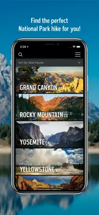
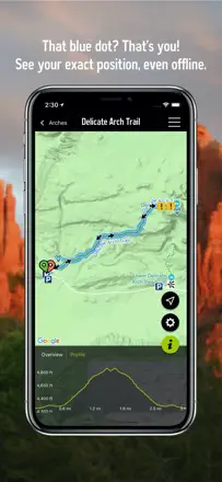
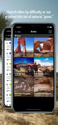
People love it for finding less crowded trails in national parks, route details, difficulty ratings and offline use in dead zones. But right now basemaps just do not load for many as the hiking season starts, and after the latest update the app crashes the moment you open it. Plus the catalog is incomplete: whole parks and trails are missing, some webcams have been down for years, and you cannot get in without creating an account.
Praised: Finds less crowded trails and hidden gems in national parks, route detail and difficulty ratings, works offline in dead zones, easy to pick family-friendly trails, pleasant layout
Complaints: Basemaps do not load, crashes on open after the update, incomplete catalog with missing parks and trails, some webcams down for years, cannot log in without creating an account, support links to a different app's website
Best for: For those planning US national park trips who want to find less crowded trails with detail and offline maps, if the app works at all right now
Rank 10. Review score: 58 out of 100. App Store rating: 4.6★ · 7,882 ratings
58of 100
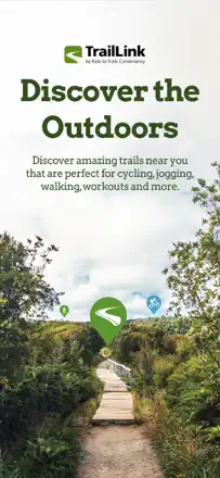
TrailLink is good for rail-trails and bike paths, inspiring people to find routes nearby and discover hidden spots on a familiar trail. But the database is incomplete, many people see only a couple of trails nearby out of dozens that actually exist, there's no proper GPS guidance on the route after you park, and some paid users can't unlock premium features for years.
Praised: Solid database of rail-trails and bike paths, inspires finding routes nearby, reveals hidden spots on a familiar trail, handy for milestones and tracking progress
Complaints: Incomplete database, shows only a couple of trails nearby out of dozens, no GPS guidance on the route after parking, paid access won't unlock premium features for years, no full-screen view on tablet
Best for: Cyclists and walkers who need rail-trails and bike paths nearby
Rank 24. Review score: 40 out of 100. App Store rating: 4.5★ · 1,973 ratings
40of 100
It used to be a beloved free app from the REI era, simple with great tracking and driving directions right to the trailhead. After OnX bought it many say it turned into an ad wrapper and started crashing on launch on newer iPhones. Offline barely works, maps do not load without signal, search is weak, and saved maps vanished for people after an update.
Praised: Free, great route tracking, accurate trail detail and elevation profile, driving directions to the trailhead, legacy of REI-era simplicity
Complaints: Crashes on launch on newer iPhones, offline barely works and maps do not load without signal, became an ad wrapper after the OnX purchase, weak search and many missing trails, no kml/kmz import or gpx export, lag on zoom
Best for: For those who remember it from the REI days and want free tracking with directions to the trailhead, if the app even launches on their phone
Rank 25. Review score: 28 out of 100. App Store rating: 4.5★ · 863 ratings
28of 100
Map lovers like the idea: the app shows secondary trails and hidden park corners missing from regular maps, and in a couple of parks like the Crosstown Trail in San Francisco it genuinely helps. But execution fails hard: for many the email-code login just does not work, and the app crashes on a screen tap or freezes on points with no details. Plus invasive data collection by default, tiny non-adjustable font, the trail disappears and you have to search for it again, and no iPad version.
Praised: Shows secondary trails and hidden park corners missing from regular maps, pleasant map, helps in specific parks, responsive developer fixes issues on contact
Complaints: Email-code login does not work, crashes on a screen tap and freezes on points with no details, invasive data collection by default, tiny non-adjustable font, the trail disappears and must be searched again, no iPad version, sparse data
Best for: For those exploring a specific park or state program where this app is officially used, and willing to tolerate login trouble and crashes