FishTrack - Charts & Forecasts
rating aligns with reviewsThe core value is finding warm water and temperature breaks before heading offshore, then punching the coordinates straight into a chart plotter. It stumbles on coverage: no Gulf of Mexico, bathymetry stops at southern New Jersey, images often fail to load. It's pricey at around 79 dollars a year, and one guide flatly says he gets the same data free from NASA Worldview.
Reviews are concrete across ratings: they praise sea surface temp accuracy and coordinates you can key into a plotter, and slam poor bathymetry, narrow coverage and images that won't load. The gap with the store comes from paying captains showing up with grievances, not template five-stars.
A mismatch is an analytical signal, not proof that the rating was manipulated.
What users love
- Accurate sea surface temperatures
- Finding temperature breaks before a trip
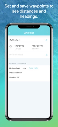
- Coordinates straight into a chart plotter
- Monthly billing option
What users hate
- Poor bathymetry
- Narrow regional coverage
- Images often don't load
- High price
- Trouble accessing paid features
Who it is for
Offshore anglers hunting temperature breaks who run a chart plotter
Screenshots