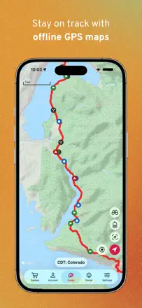
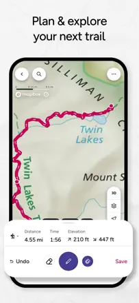
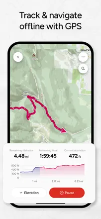
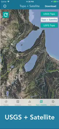
Head into the backcountry for several days and not get lost where there is no cell network. Download a detailed map with layers and trails ahead of time and be sure it will open offline at the moment they need it.
Ces apps sont mentionnées dans le décryptage de cette tâche. Ouvre chacune pour comparer les points forts et les limites. L’ordre de la liste n’est pas un classement d’adéquation.
Rang 23. Note des avis : 40 sur 100. Note sur l’App Store : 4,8★ · 32 050 notes
40sur 100
Gaia is valued for some of the best maps for off-roading and overlanding and for genuinely bailing people out at junctions with no signal. But after Outside bought the company things regressed, they removed the beloved Nat Geo Trails and satellite layers, snap-to-trail doesn't hold offline, and since the June update the app crashes constantly, so people are moving to onX and others.
Points forts : Some of the best maps for off-roading and overlanding, USGS Topo layer, saves you at junctions with no signal, accuracy on the route
Reproches : Constant crashes since the June update, removed Nat Geo Trails and satellite layers, snap-to-trail fails offline, slow and painful offline map downloads, elevation gain estimate off by 30-50%
Pour qui : Off-roaders and overlanders who need detailed topo maps offline in the backcountry
Rang 6. Note des avis : 62 sur 100. Note sur l’App Store : 4,8★ · 26 183 notes
62sur 100
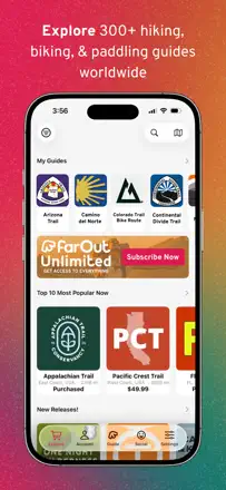
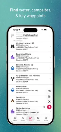
FarOut, formerly Guthook, is indispensable on thru-hikes like the Appalachian Trail for its water points, bear and campsite markers, and fresh comments from people who just passed, plus you buy maps once with no subscription. It breaks right where it matters most, the app freezes and crashes on multi-day trips, the offline map sometimes won't open without signal, and an update can lose trail sections you already bought.
Points forts : Water points and bear and campsite markers, fresh comments from people who just walked it, buy a map once with no subscription, view with map, elevation profile and waypoint list
Reproches : Freezes and crashes on multi-day trips, offline map sometimes won't open without signal, updates lose purchased trail sections, fewer fresh comments now, planning a route on the phone is awkward
Pour qui : Thru-hikers and paddlers on long routes who need water points and live reports from the trail
Rang 12. Note des avis : 55 sur 100. Note sur l’App Store : 4,8★ · 5 968 notes
55sur 100
OnX Backcountry is praised for its clear layout, offline maps with no fear of losing signal, and frequent free layers, and some prefer it over AllTrails and Gaia. But in-app route building is finicky, it drops points on its own and won't let you remove them, the trail database is sometimes thinner than AllTrails, and the company splits features across separate paid apps while burying you in offer pop-ups and rating prompts.
Points forts : Clear and fast layout, offline maps with no fear of losing signal, accuracy on the route, building your own route with a feasibility check
Reproches : Route builder drops points on its own and won't let you remove them, trail database sometimes thinner than AllTrails, features split across separate paid apps, search fails to find popular trails, buries you in offer and rating pop-ups
Pour qui : Off-roaders and hikers who need offline maps and land-ownership data in the backcountry
Rang 11. Note des avis : 55 sur 100. Note sur l’App Store : 4,8★ · 126 349 notes
55sur 100
Avenza is loved by firefighters, hunters and people who carry georeferenced maps as a paper replacement, for its accurate GPS and easy import of historic aerials and USGS maps. It fell apart when custom map import got locked out of the free version, breaking many people's usual workflow, plus map search is clumsy and the field-notes interface is heavy.
Points forts : Georeferenced maps as a paper replacement, accurate GPS even on free, importing USGS maps and historic aerials, fast offline map downloads
Reproches : Custom map import removed from free version, clumsy search for the map you want, heavy field-notes interface, cap on number of imported maps, coordinate entry autocorrect breaks navigation
Pour qui : Firefighters, hunters and field professionals who need their own georeferenced maps offline
Rang 18. Note des avis : 48 sur 100. Note sur l’App Store : 4,7★ · 426 notes
48sur 100
Ordnance Survey cartography is second to none for everyone, especially for walking around Britain, and the offline mode saves you in rain and on windy cliffs. But the app around the maps falls apart: it constantly logs you out and makes you re-download, it crashes when you zoom on your own downloaded maps, and cancelling the subscription was made nearly impossible.
Points forts : Unmatched Ordnance Survey maps, detail and accuracy, offline mode in rain and wind, rights-of-way over land
Reproches : Constantly logs you out and demands re-downloads, crashes when zooming on offline maps, unreliable during server outages, nearly impossible to cancel the subscription
Pour qui : Hikers across Britain who need official OS maps and offline access in the wild
Rang 19. Note des avis : 45 sur 100. Note sur l’App Store : 4,6★ · 2 812 notes
45sur 100
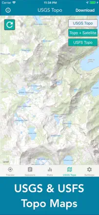
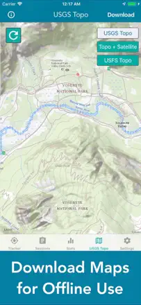
People buy it for topo maps and tracking, for some it replaced a discontinued trails app and genuinely helps offline. But the main complaint repeats: zoom in to a useful scale and all topo detail and contour lines vanish, leaving a green screen with roads. Offline maps download through awkward pan-and-zoom over tiles instead of a simple box select, and there is no compass or center-on-me.
Points forts : Good topo maps and GPS tracking, helps offline with no signal, simple intuitive controls, on-screen prompts, replacement for a discontinued trails app
Reproches : Topo detail and contour lines disappear on zoom, offline maps download by painful tile-by-tile panning, no compass or heading orientation, no center-on-me button, loses tracked miles on a tracking failure
Pour qui : For those who want a cheap topo map for a hike and can tolerate clumsy offline downloads, not for serious backcountry navigation