


HiiKER: The Hiking Maps App
アプリについての本文は英語です。
- 48 100点中 · レビュー
- 4.65点中 · ストア
- 939件の評価(App Store)
- 183件のレビューを分析
保存されたレビューの編集部による読み解き
People use it for planning long routes and previewing trails, some like coverage such as Purple Lizard in Pennsylvania and the free planning. But serious problems repeat: recorded hikes do not sync and disappear, support replies once then goes silent, elevation profiles are wrong, trail difficulty ratings are odd. Plus the interface is busy, the trail inventory is smaller than competitors, and distance is in kilometers only with no miles.
スクリーンショット

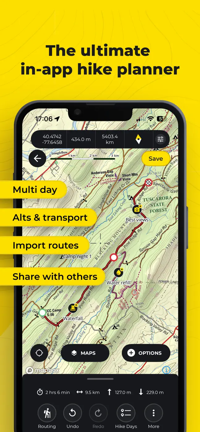
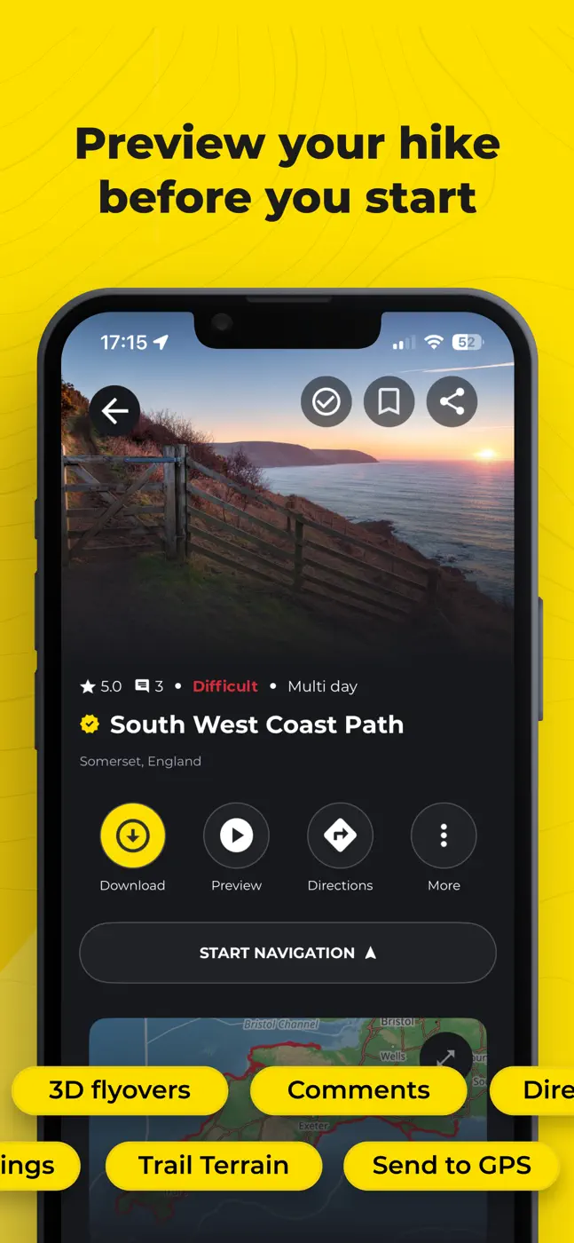
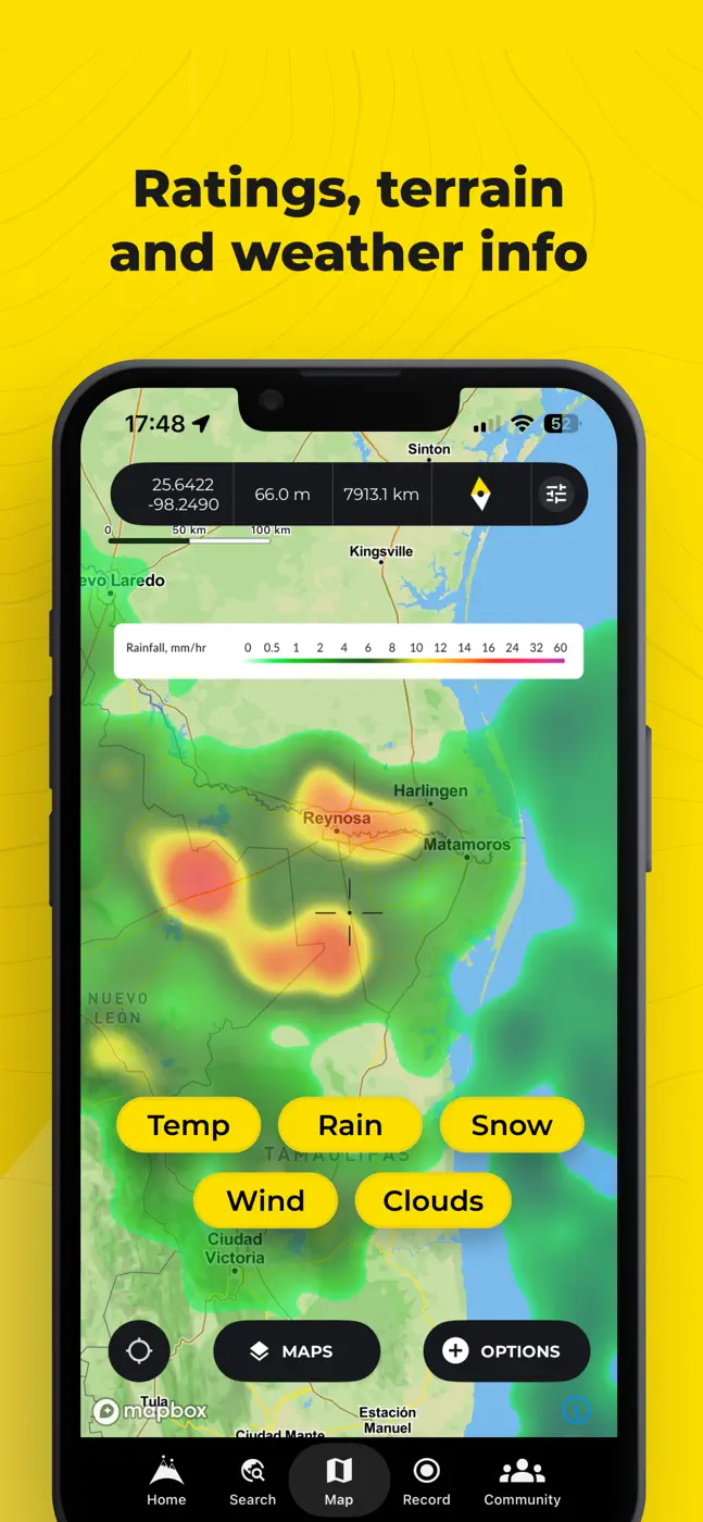
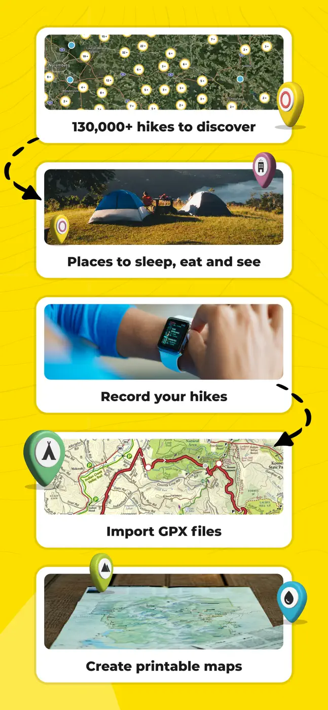

どんな用途で使われているか
For those planning long routes who want free planning with trail previews, willing to keep a second app or a paper guide alongside for navigation
レビューでほめられている点
Planning long routes and previewing trails, shows campgrounds during planning, good coverage in some regions, free planning, keeps you on the right trail
レビューで不満が出ている点
Recorded hikes do not sync and disappear, support replies once then goes silent, wrong elevation profiles and odd difficulty ratings, busy interface, fewer trails than competitors, distance in kilometers only, promotional notifications
ユーザーの体験
分析からの抜粋1件。個別の事例であり、すべてのユーザーの評価ではありません。
the ability to combine recordings. I have a couple hikes where I paused the recording to take a break and accidentally stopped the recordingこのテーマのほかのアプリ


これはinAppのアーカイブの資料です。インストールの前に、ストアでアプリの現在の条件と機能を確認してください。