


OS Maps: Walk, Hike, Run, Bike
アプリについての本文は英語です。
- 48 100点中 · レビュー
- 4.75点中 · ストア
- 426件の評価(App Store)
- 520件のレビューを分析
保存されたレビューの編集部による読み解き
Ordnance Survey cartography is second to none for everyone, especially for walking around Britain, and the offline mode saves you in rain and on windy cliffs. But the app around the maps falls apart: it constantly logs you out and makes you re-download, it crashes when you zoom on your own downloaded maps, and cancelling the subscription was made nearly impossible.
スクリーンショット

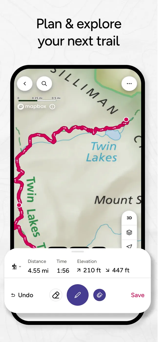
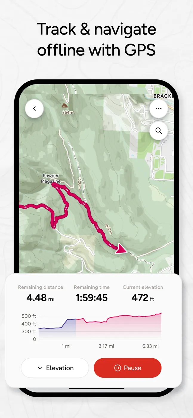
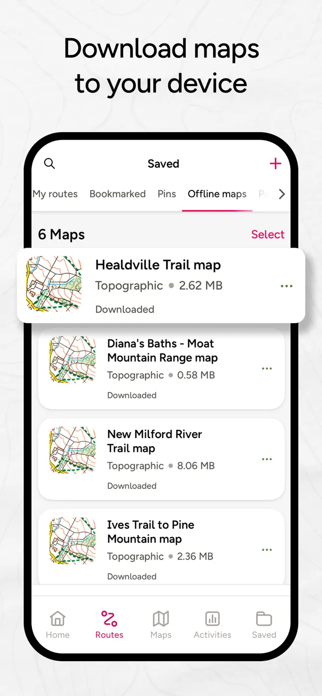
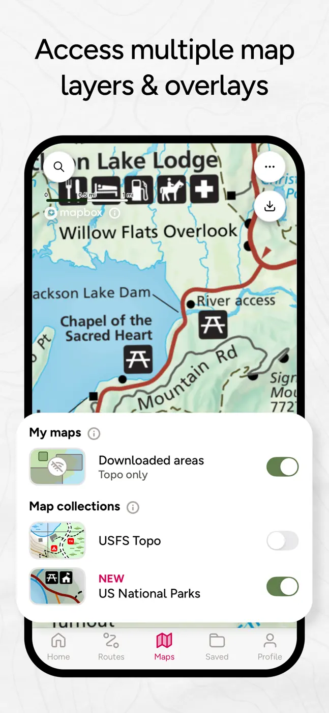
どんな用途で使われているか
Hikers across Britain who need official OS maps and offline access in the wild
レビューでほめられている点
Unmatched Ordnance Survey maps, detail and accuracy, offline mode in rain and wind, rights-of-way over land
レビューで不満が出ている点
Constantly logs you out and demands re-downloads, crashes when zooming on offline maps, unreliable during server outages, nearly impossible to cancel the subscription
ユーザーの体験
分析からの抜粋1件。個別の事例であり、すべてのユーザーの評価ではありません。
Had this app for over 5 years. Unfortunately it’s gone from a simple reliable navigation app to a bloated monster.この課題で挙げられています
このテーマのほかのアプリ


これはinAppのアーカイブの資料です。インストールの前に、ストアでアプリの現在の条件と機能を確認してください。