


Topo Map & Hiking Tracker
アプリについての本文は英語です。
- 52 100点中 · レビュー
- 4.75点中 · ストア
- 1,357件の評価(App Store)
- 53件のレビューを分析
保存されたレビューの編集部による読み解き
People value it for no subscription and no ads, an honest one-time purchase, simplicity and a smart battery-saving mode via airplane mode with a preloaded map. But one problem hits the core: distance tracking consistently overstates mileage, people get 8 miles instead of 7 or 18 instead of 14, which is critical for a tracker. It also does not sum total elevation gain across multiple climbs, does not save calories and elevation to the saved map, and for some the map goes black after 10 minutes.
スクリーンショット
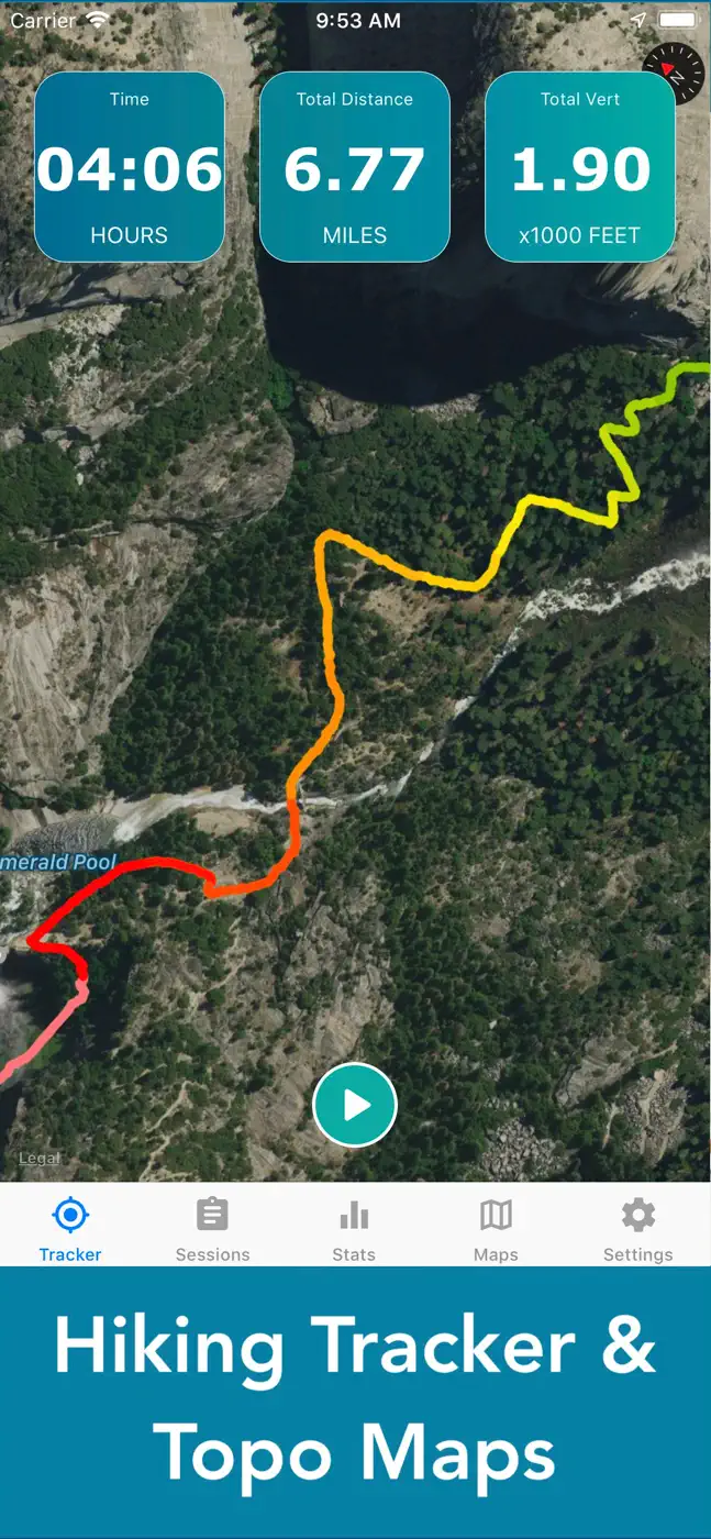
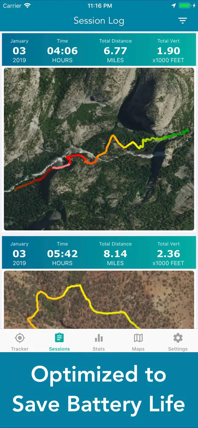
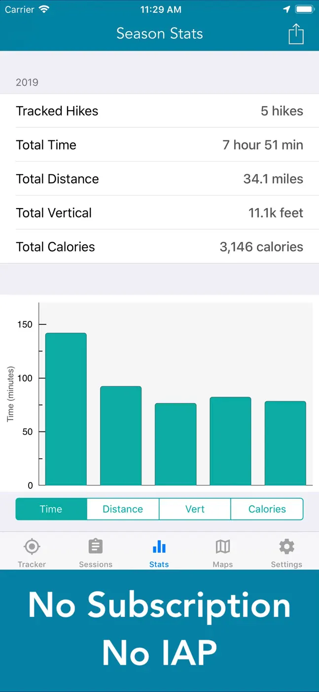

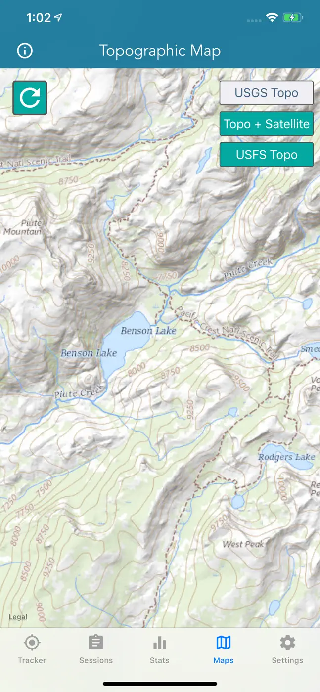
どんな用途で使われているか
For those who want a simple hike tracker with no subscription and no ads for a one-time fee, and who do not need distance accuracy to the tenth of a mile
レビューでほめられている点
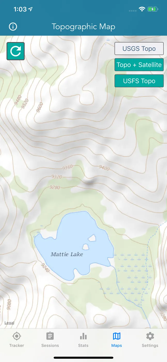
No subscription and no ads, honest one-time purchase, simple and clear, battery saving via airplane mode with a preloaded map, works in the background, several topo maps to choose from, affordable price
レビューで不満が出ている点
Distance tracking consistently overstates mileage by miles, does not sum total elevation gain across multiple climbs, does not save calories and elevation to the saved map, map goes black after 10 minutes for some, cannot import waypoints, no compass
ユーザーの体験
分析からの抜粋1件。個別の事例であり、すべてのユーザーの評価ではありません。
App recorded 18.2 miles, but hike was only 14.7 miles (confirmed with garmin gps. App also only records difference between lowest elevation and highest elevation.この課題で挙げられています
このテーマのほかのアプリ


これはinAppのアーカイブの資料です。インストールの前に、ストアでアプリの現在の条件と機能を確認してください。